Silver book. Descriptive Brochure as at October 15th, 1953 of the Corporation of the District of Kitimat, Incorporated March 31st, 1953. Contains Maos, photos, and descriptions of the Kitimat project and community development.
Silver book. Descriptive Brochure as at October 15th, 1953 of the Corporation of the District of Kitimat, Incorporated March 31st, 1953. Contains Maos, photos, and descriptions of the Kitimat project and community development.
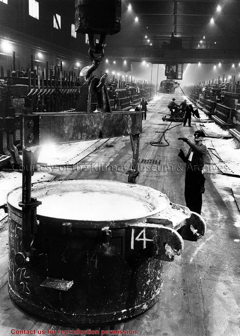
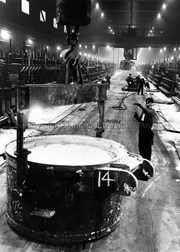
Photo depicts Sam Hanna directing a crane operator in hoisting a crucible filled with molten aluminum on a potline.
Notes
Title based on content of photograph. -- Famed Canadian documentary photographer Malak Karsh was hired in the 1950s by Alcan to take photographs of Arvida and Kitimat. Many were published in Alcan literature and textbooks on Canada. A colourized version of this photograph appears in "The Story of British Columbia", The Story of Canada Series, 1966. Alcan Collection
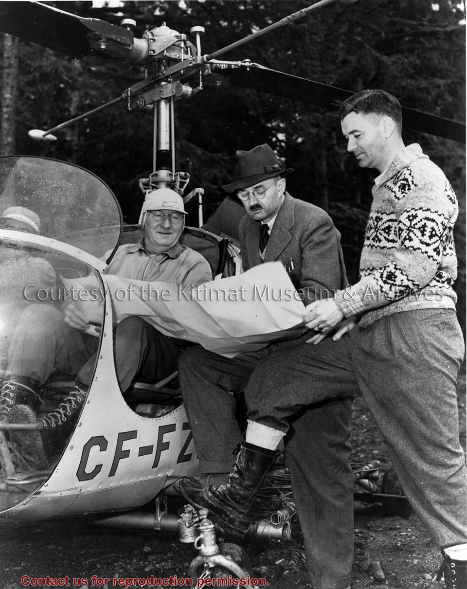
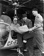
Photo depicts the men in charge of operations. From left is Vice President A.W. Whitaker Jr. seen sitting in a helicopter; Project Manager Percy E. Radley; Chief Resident Engineer John Kendrick. The three men are all taking a look at what could be a map.
Photo depicts the men in charge of operations. From left is Vice President A.W. Whitaker Jr. seen sitting in a helicopter; Project Manager Percy E. Radley; Chief Resident Engineer John Kendrick. The three men are all taking a look at what could be a map.
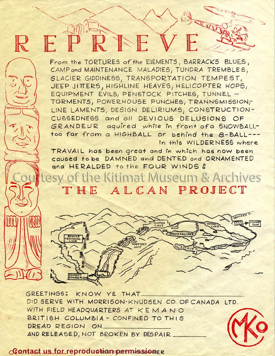
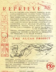
Image depicts a humorous reprieve certificate given to employees of the Alcan Project. The content also implies the hardships endured by the Morrison-Knudsen Company workers in Kemano.
Image depicts a humorous reprieve certificate given to employees of the Alcan Project. The content also implies the hardships endured by the Morrison-Knudsen Company workers in Kemano.
Notes
Title based on contents of text. Ernie Archer Collection
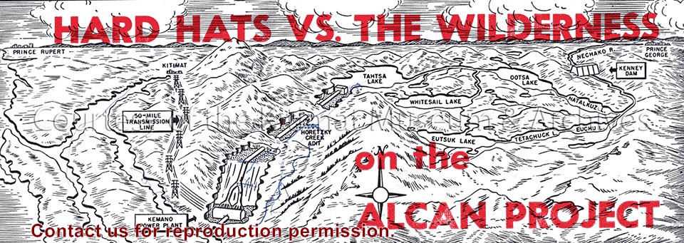
Illustration depicts a map of the Alcan project area, reaching from Prince Rupert to Kenney Dam. Seen is the transmission line, Kemano power plant and the lakes of the region.
Illustration depicts a map of the Alcan project area, reaching from Prince Rupert to Kenney Dam. Seen is the transmission line, Kemano power plant and the lakes of the region.
Notes
Clipping origin unknown. Fritz Wurster Collection. 2002.32