Aerial view of the Kitimat River Bridge site looking south showing falsework for steel erection. The building at lower left is the Club House of the Kitimat Rod and Gun Club.
Aerial view of the Kitimat River Bridge site looking south showing falsework for steel erection. The building at lower left is the Club House of the Kitimat Rod and Gun Club.
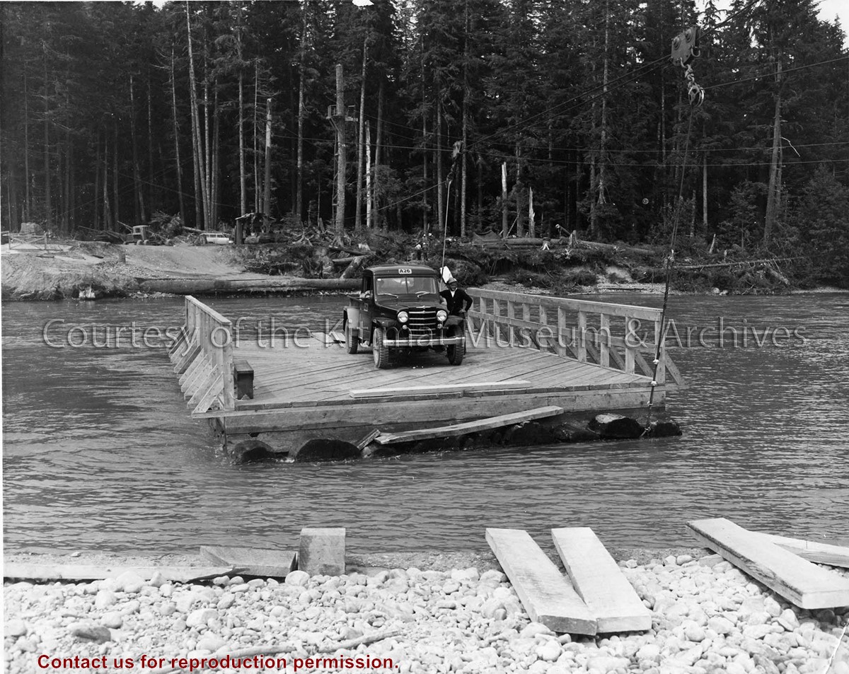
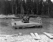
Photo depicts a man standing beside his truck, crossing the Kitimat River aboard a wood construction raft ferry, guard rail on two sides, and guided by a cabling system shown above the river.
Photo depicts a man standing beside his truck, crossing the Kitimat River aboard a wood construction raft ferry, guard rail on two sides, and guided by a cabling system shown above the river.
Notes
Title based on content of photograph. Alcan Collection 73.3.3.29
The Kitimat Chinese Association was founded in 1985. Their purpose was to connect all Chinese Canadians in Kitimat, with the local people too. They encouraged the members involved in the community to show and share Chinese culture with the people in Kitimat. Like activities in Multicultural Day, Canada Day, Canada Cancer Society's Relay of Life, etc. Every year they had three gatherings, summer picnic, Christmas and Chinese New Year. The association disbanded in December 2008 as most of the members got older and retired.
Custodial History
Donated by Huey-lin Wu
Scope and Content
1 photo album containing various photos from Kitimat Chinese Association events. Photos include-
Children and adults in traditional Chinese clothes
Traditional dances
Groups and children at the First Baptist Church
A meeting in a classroom
Radley Park picnic
Events at Frank Melanson Memorial Hall
Christmas events
New Years event 1997 (year of the ox)
Potluck Dinners
Flyer for Multicultural Festival Potluck Dinner and Performance 1997
Photograph showing the kitimat river during winter. A D8 CAT bulldozer can be seen crossing the river with a man in a rowboat alongside. The photo is looking east toward townsite road clearing.
Photograph showing the kitimat river during winter. A D8 CAT bulldozer can be seen crossing the river with a man in a rowboat alongside. The photo is looking east toward townsite road clearing.
Photograph of possibly line 1 potline left where carbon paste plant is today. Recreational facilities + a bit of the hill on the right where the homes were. Also, water tower.
Photograph of possibly line 1 potline left where carbon paste plant is today. Recreational facilities + a bit of the hill on the right where the homes were. Also, water tower.
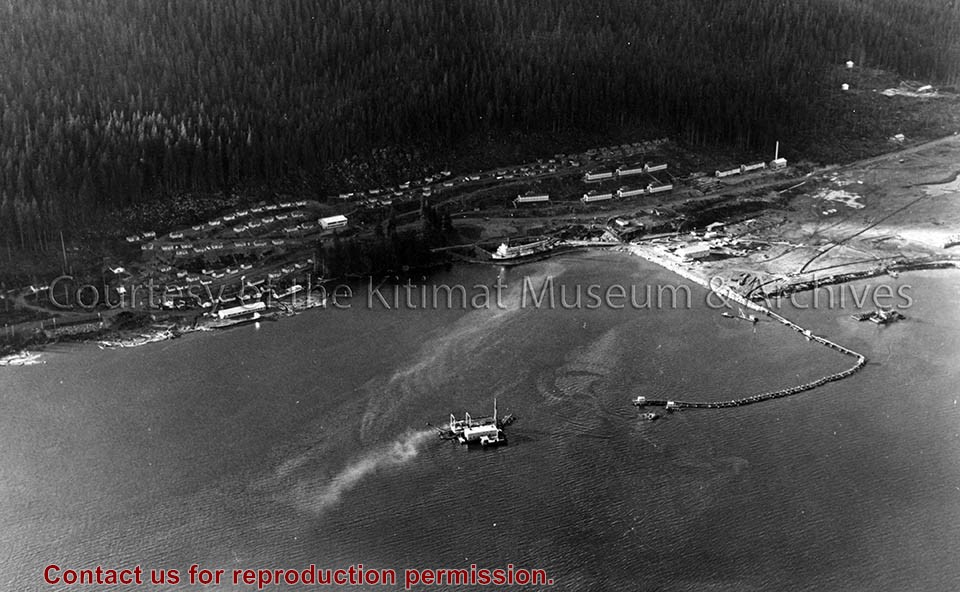
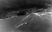
Photo depicts an aerial view of the smeltersite main camp showing married quarters, sternwheeler Delta King, hydraulic fill in progress, recreation building, hospital, power plant, sawmill and water tank.
Photo depicts an aerial view of the smeltersite main camp showing married quarters, sternwheeler Delta King, hydraulic fill in progress, recreation building, hospital, power plant, sawmill and water tank.
Notes
Title based on content of photograph. -- Alcan ID Numbers BC-2-243 and ACM-24311. Alcan Collection 78.11.32
Photo depicts an aerial view of a portion of the Nechako neighbourhood showing the Hullah prototype area, Pintail and Partridge streets, in the foreground.
Photo depicts an aerial view of a portion of the Nechako neighbourhood showing the Hullah prototype area, Pintail and Partridge streets, in the foreground.
Notes
Title based on content of photograph. District of Kitimat Collection