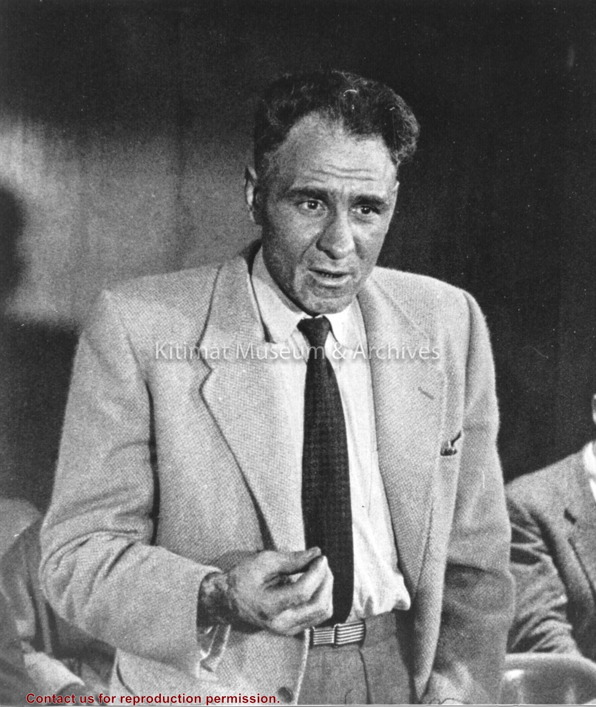
This item is part of a large collection of photographs from Prince Rupert Daily News that was first transfered to the Prince Rupert City & Regional Archives. Images pertaining to Kitimat/Kemano were subsequently transfered to our repository.
Scope and Content
Photograph of bundles of aluminum cylinder ingots.
Photo showing smeltersite looking east showing progress of structural steel and aluminum cladding in potline 2 and concrete footings and pot recess flours in potline 1. Service Building, roofs are completed, substation and precast yard and storage in foreground.
Photo showing smeltersite looking east showing progress of structural steel and aluminum cladding in potline 2 and concrete footings and pot recess flours in potline 1. Service Building, roofs are completed, substation and precast yard and storage in foreground.
Map, of the District Municipality of Kitimat, British Columbia, drawn by G.V. Laurenson, May 1955 for Hudson's Bay Company. 1st. Edition.Map includes Neighborhood 'A' or 'Nechako', Kitimat Service Center, Aluminum Company of Canada Ltd.'s B.C. Project, Nechako Center, Kitimat City Center and a Reference section.
Map, of the District Municipality of Kitimat, British Columbia, drawn by G.V. Laurenson, May 1955 for Hudson's Bay Company. 1st. Edition.Map includes Neighborhood 'A' or 'Nechako', Kitimat Service Center, Aluminum Company of Canada Ltd.'s B.C. Project, Nechako Center, Kitimat City Center and a Reference section.
Aerial photo of the Kitimat river estuary showing Kitimat River, Kitimat Harbor, Minette Bay, and the Alcan company smelter site taken from the southwest looking northeast towards the Kitimat City Centre.
Aerial photo of the Kitimat river estuary showing Kitimat River, Kitimat Harbor, Minette Bay, and the Alcan company smelter site taken from the southwest looking northeast towards the Kitimat City Centre.