Photo depicts an aerial view looking northwest of Smeltersite housing, the hospital on the beach, the school in the centre, and the seaplane landing ramp.
Photo depicts an aerial view looking northwest of Smeltersite housing, the hospital on the beach, the school in the centre, and the seaplane landing ramp.
Notes
Title based on content of photograph. -- Alcan ID No. J-43-1837. Kitimat Heritage Advisory Commission Collection. KMA No. P00209.jpg
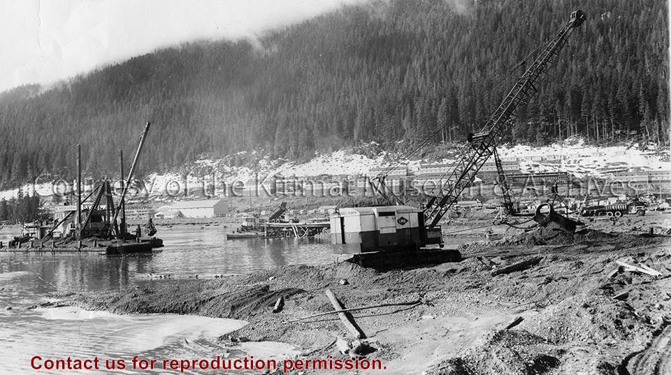
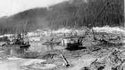
Photo depicts the dredge and dragline excavating the channel from the dock to deep water, a truck dumping gravel for the foundation blanket into the bottom of a dump scow. The view looks toward the construction site for the permanent wharf from the south dike of the graving dock, crew bunkhouses of Smeltersite in the background.
Photo depicts the dredge and dragline excavating the channel from the dock to deep water, a truck dumping gravel for the foundation blanket into the bottom of a dump scow. The view looks toward the construction site for the permanent wharf from the south dike of the graving dock, crew bunkhouses of Smeltersite in the background.
Notes
Title based on content of photograph. -- Alcan ID No. BC-2-320. Hal Whiting Collection 985.65.211