Map, of the District Municipality of Kitimat, British Columbia, drawn by G.V. Laurenson, May 1955 for Hudson's Bay Company. 1st. Edition.Map includes Neighborhood 'A' or 'Nechako', Kitimat Service Center, Aluminum Company of Canada Ltd.'s B.C. Project, Nechako Center, Kitimat City Center and a Reference section.
Map, of the District Municipality of Kitimat, British Columbia, drawn by G.V. Laurenson, May 1955 for Hudson's Bay Company. 1st. Edition.Map includes Neighborhood 'A' or 'Nechako', Kitimat Service Center, Aluminum Company of Canada Ltd.'s B.C. Project, Nechako Center, Kitimat City Center and a Reference section.
Aerial photo of the Kitimat river estuary showing Kitimat River, Kitimat Harbor, Minette Bay, and the Alcan company smelter site taken from the southwest looking northeast towards the Kitimat City Centre.
Aerial photo of the Kitimat river estuary showing Kitimat River, Kitimat Harbor, Minette Bay, and the Alcan company smelter site taken from the southwest looking northeast towards the Kitimat City Centre.
Photo showing Helge Ronneseth and Kurt Zeiner from Norway. Alcan employees who first heard of Kitimat from an early copy of the Northern Sentinel; arrived as crew members of S.S. Sun Karen
Photo showing Helge Ronneseth and Kurt Zeiner from Norway. Alcan employees who first heard of Kitimat from an early copy of the Northern Sentinel; arrived as crew members of S.S. Sun Karen
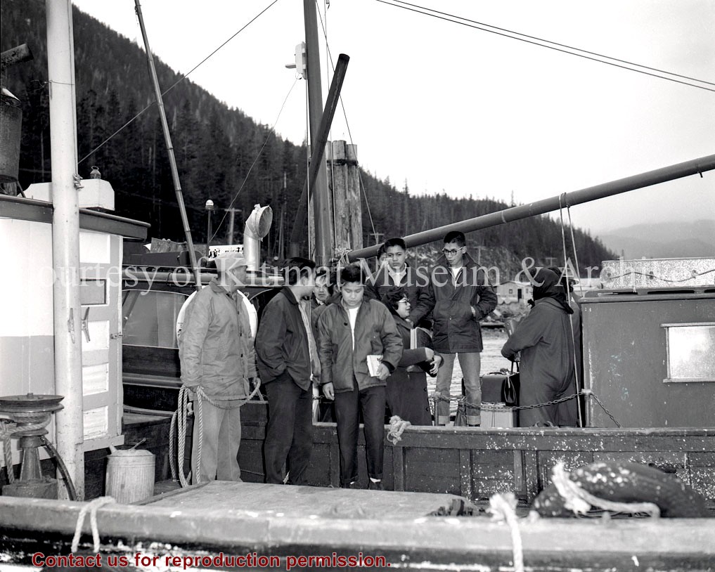
In 2013, the Kitimat Museum and Archives worked with the District of Kitimat, and the Recreation Department, to select images commemorating 60 years of Community in the town of Kitimat. The display can physically be seen on display in the hallway of Riverlodge Recreation Centre.
In 2013, the Kitimat Museum and Archives worked with the District of Kitimat, and the Recreation Department, to select images commemorating 60 years of Community in the town of Kitimat. The display can physically be seen on display in the hallway of Riverlodge Recreation Centre.