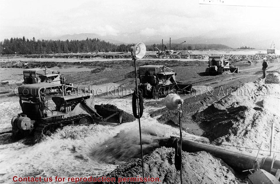
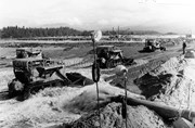
Photo depicts bulldozers placing fill in the south-west corner of the storage area, to the final elevation of 28.5 ft. View is looking north-east at storage area of hydraulic fill.
Photo depicts bulldozers placing fill in the south-west corner of the storage area, to the final elevation of 28.5 ft. View is looking north-east at storage area of hydraulic fill.
Notes
Title based on content of photograph. Alcan Collection 79.31.7
Looking north from sandhill (elev. 640 +) to site of permanent bridge center left, Townsite camp center right edge of photo, and Townsite ridge left to right.
Looking north from sandhill (elev. 640 +) to site of permanent bridge center left, Townsite camp center right edge of photo, and Townsite ridge left to right.
Aerial view looking north at the plant site, with H.M.C.S. Sioux at the wharf. Tide elevation is approximately 2.5 feet, and the extent of the dredge cut in the harbour can be clearly seen.
In Klaus Mueller's possession when Engineering Depart. was dismantled.
Scope and Content
Aerial view looking north at the plant site, with H.M.C.S. Sioux at the wharf. Tide elevation is approximately 2.5 feet, and the extent of the dredge cut in the harbour can be clearly seen.
Smelter Site Looking East. Foreground, perforated Concrete Pipe for Ground Master Ditch. Middleground, Pre-cast Concrete Yard with Storage Stacks at right. Structural Steel partially complete in Service Buildings Lines D to M. Footings for Pot Line 2 at right.
Smelter Site Looking East. Foreground, perforated Concrete Pipe for Ground Master Ditch. Middleground, Pre-cast Concrete Yard with Storage Stacks at right. Structural Steel partially complete in Service Buildings Lines D to M. Footings for Pot Line 2 at right.