Map, of the District Municipality of Kitimat, British Columbia, drawn by G.V. Laurenson, May 1955 for Hudson's Bay Company. 1st. Edition.Map includes Neighborhood 'A' or 'Nechako', Kitimat Service Center, Aluminum Company of Canada Ltd.'s B.C. Project, Nechako Center, Kitimat City Center and a Reference section.
Map, of the District Municipality of Kitimat, British Columbia, drawn by G.V. Laurenson, May 1955 for Hudson's Bay Company. 1st. Edition.Map includes Neighborhood 'A' or 'Nechako', Kitimat Service Center, Aluminum Company of Canada Ltd.'s B.C. Project, Nechako Center, Kitimat City Center and a Reference section.
Photo depicts the boardwalk between homes 36 and 32 on Finch Steet in the Nechako neighbourhood. View is north-east looking towards Nalabila Boulevard. Photo taken from Mr. & Mrs. Haase's balcony on Fulmar Street.
Photo depicts the boardwalk between homes 36 and 32 on Finch Steet in the Nechako neighbourhood. View is north-east looking towards Nalabila Boulevard. Photo taken from Mr. & Mrs. Haase's balcony on Fulmar Street.
Notes
Label on the back of the photo is inconsistent with the label on the envelope.
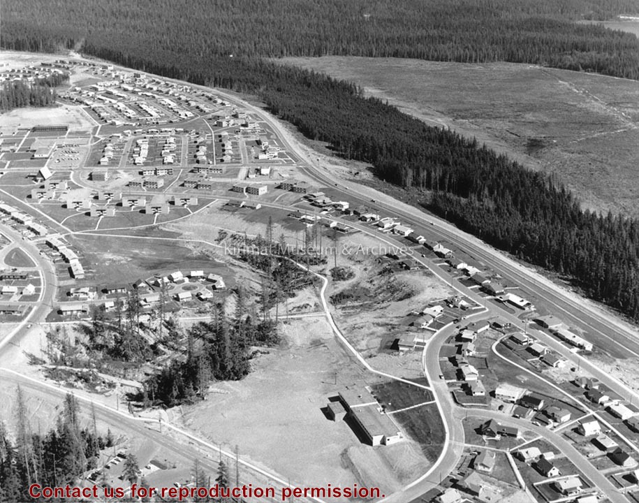
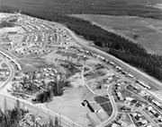
Photo showing Aerial View - Nechako Area (aerial shots were taken at different intervals all through the Alcan Project - Nechako, Kildala, Whitesaile Areas)
Photo showing Aerial View - Nechako Area (aerial shots were taken at different intervals all through the Alcan Project - Nechako, Kildala, Whitesaile Areas)