Aerial view of Nechako Neighbourhood looking east. looking east. Note clearing for B-III on left side of picture and clearing for City Centre and Neighbourhood D on the right side.
Aerial view of Nechako Neighbourhood looking east. looking east. Note clearing for B-III on left side of picture and clearing for City Centre and Neighbourhood D on the right side.
Photo showing a view taken from the roof of the public safety building. View shows Smoke in the air near the municipal borders. Perfect picture of downtown Nechako.
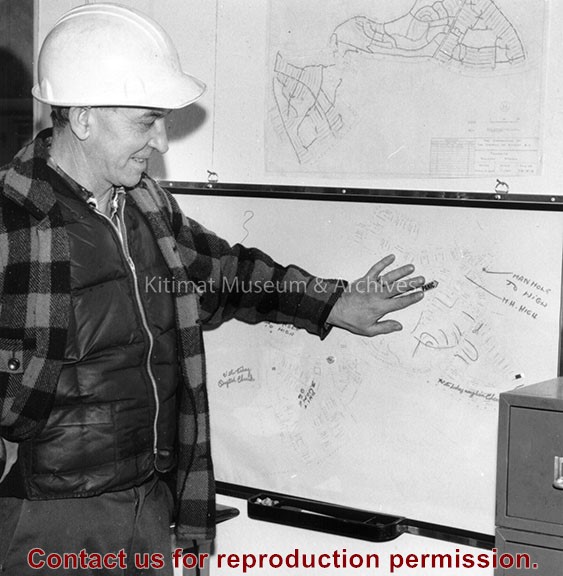
Current: 1960s; District of Kitimat, Miscellaneous
Scope and Content
Photo showing a view taken from the roof of the public safety building. View shows Smoke in the air near the municipal borders. Perfect picture of downtown Nechako.