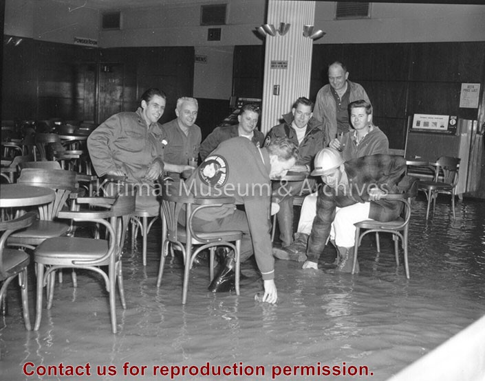
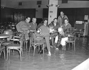
Hotel Manager George More is seen with some of the boys around 6 a.m. in the Gordon's main beverage room. Flood waters covered the tiled floor to a depth of several inches. Clean-up crews were on the job before noon and the hotel was back in business the same day, reflecting the swiftness with which the water dropped.
Hotel Manager George More is seen with some of the boys around 6 a.m. in the Gordon's main beverage room. Flood waters covered the tiled floor to a depth of several inches. Clean-up crews were on the job before noon and the hotel was back in business the same day, reflecting the swiftness with which the water dropped.
Photo depicts an aerial view of Kitimat. Seen is land cleared for Neighbourhood "D" and the Whitesail Neighbourhood under construction, right foreground. The Alcan smelter and channel are in the background.
Photo depicts an aerial view of Kitimat. Seen is land cleared for Neighbourhood "D" and the Whitesail Neighbourhood under construction, right foreground. The Alcan smelter and channel are in the background.
Notes
Title based on content of photograph. -- On the official "Town Plan for Kitimat, B.C." by Stein and Mayer & Whittlesey, Neighbourhood "D", the cleared area in the photo, was to have three elementary schools, and one junior and one senior high school. This neighbourhood was never constructed and was returned to bush.
Photo depicts high water conditions of Kitimat River at the south end of Service Centre. Near the water's edge in the background is a truck that has overturned.
Photo depicts high water conditions of Kitimat River at the south end of Service Centre. Near the water's edge in the background is a truck that has overturned.
Notes
Alcan ID No. J-2-183. -- Alcan Public Relations Department ID No. ICT 349-1. Photograph taken at 2:30 p.m. Truck overturned when the road gave way. River elevation was 50.45 feet and rose to a maximum of 51.1 feet at 6:30 p.m.