This fonds consists of materials created or collected by Gisela Mendel throughout her time in British Columbia, particularly during her tenure as the Museum's first curator (1969-1981). It is divided into three series:
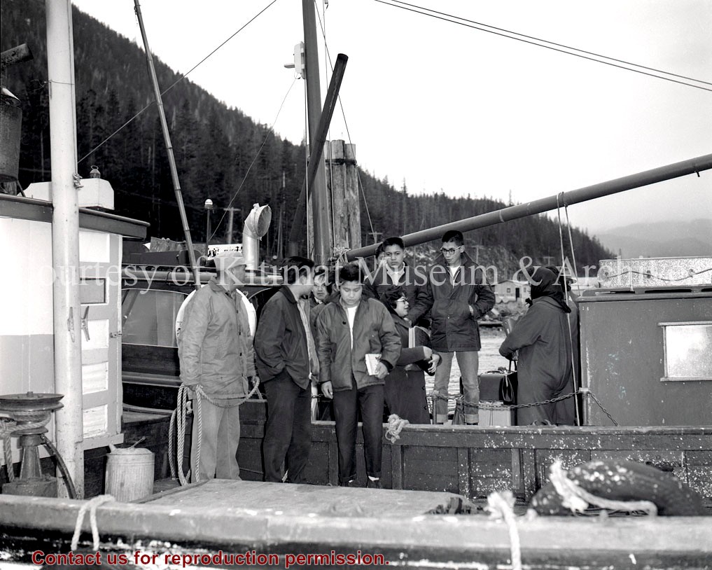
Series 1: Photographs - approx. 330 photographs, negatives, and slides taken by Gisela Mendel, showing the local area, flora and fauna, Museum displays, Kitamaat Village and its residents, traditional Haisla cultural activities, etc.
Series 2: Kitimat Flora Collection - 12 boxes of pressed and dried flora from the local area, with associated information.
Series 3: Logbooks and scrapbooks - logbooks from Clague and Squirrel Mountains (1957-1969), accounts of Mendel family outings (1963-1968), scrapbook/photo album from Stikine road trip (1999), textual material and photos on regional hiking rails from binder on assembled by Gisela.
Series 4: Maps - 23 regional maps collected and annotated by Gisela.
ca. 10.5 cm textual material (logbooks, scrapbooks)
23 maps
History / Biographical
Gisela Heimbach Mendel was the first curator of the Kitimat Museum and Archives (then known as the Kitimat Centennial Museum). She was born in Germany in 1922 and worked as a pharmacist in East Prussia when the Russians invaded. She fled the Russians and immigrated to Canada in 1952 with her husband, Hans, and their children. Unhappy with the geography of Southern Ontario - in her words, she was a "mountain woman" - she chose Kitimat as her home.
In her earliest years in Kitimat (beginning 1956), Gisela collected botanical specimens for the Royal BC Museum in Victoria. She served as the first curator of the Kitimat Centennial Museum from the building's opening in 1969 until her retirement in 1981, when she and Hans moved to Smithers. Gisela was responsible for not only showcasing local art and history, but building a strong and varied permanent collection of artifacts and archival items upon which future curators could build.
As she was working in a relatively young community, town history was not considered a priority so much as regional history, natural history and Haisla First Nations cultural traditions, which Gisela documented with great intensity. One of her projects was creating an ethno-botanical dictionary with the help of Haisla elders, identifying the Haisla names and traditional uses for various plants. In 1972, the Northern Sentinel reported that each weekend Gisela made the rounds of her secret botanical hunting grounds to replace the display of floral specimens in her exhibits. She was a tremendous record-keeper and journalist, had a great life of the outdoors, and developed many close friendships in Kitimat and Kitamaat Village. Her thirst for information was incredible, and the Museum and the community benefitted immensely from her passion for gathering and recording knowledge. In the 1990s she received the Award of Merit from the BC Museums Association in recognition of her work. She passed away in 2008.
Custodial History
Materials in this fonds were created by Gisela Mendel during her time as Museum Curator, or donated by her, her family members, or other community members following her retirement.
Scope and Content
This fonds consists of materials created or collected by Gisela Mendel throughout her time in British Columbia, particularly during her tenure as the Museum's first curator (1969-1981). It is divided into three series:
Series 1: Photographs - approx. 330 photographs, negatives, and slides taken by Gisela Mendel, showing the local area, flora and fauna, Museum displays, Kitamaat Village and its residents, traditional Haisla cultural activities, etc.
Series 2: Kitimat Flora Collection - 12 boxes of pressed and dried flora from the local area, with associated information.
Series 3: Logbooks and scrapbooks - logbooks from Clague and Squirrel Mountains (1957-1969), accounts of Mendel family outings (1963-1968), scrapbook/photo album from Stikine road trip (1999), textual material and photos on regional hiking rails from binder on assembled by Gisela.
Series 4: Maps - 23 regional maps collected and annotated by Gisela.
23 maps of northwestern British Columbia, from the Seven Sisters westward to Port Essington.
2018.9.1a-b – Seven Sisters / Dorreen
2018.9.2a-c – Usk / Chist Creek
2018.9.3a-c – Lakelse / Terrace
2018.9.4a-b – Alastair Lake
2018.9.5a-b – Salvus, Coast District Range 5
2018.9.6a-d – Ecstall River / Port Essington
2018.9.7a-g – Kitimat Arm, Kildala River, Mt. Aetna, Mount Elizabeth, Mount Davies, private logging roads
Maps were collected and annotated by Gisela Mendel throughout her time in northwest BC and donated to the Museum in 2018.
Scope and Content
23 maps of northwestern British Columbia, from the Seven Sisters westward to Port Essington.
2018.9.1a-b – Seven Sisters / Dorreen
2018.9.2a-c – Usk / Chist Creek
2018.9.3a-c – Lakelse / Terrace
2018.9.4a-b – Alastair Lake
2018.9.5a-b – Salvus, Coast District Range 5
2018.9.6a-d – Ecstall River / Port Essington
2018.9.7a-g – Kitimat Arm, Kildala River, Mt. Aetna, Mount Elizabeth, Mount Davies, private logging roads
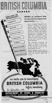
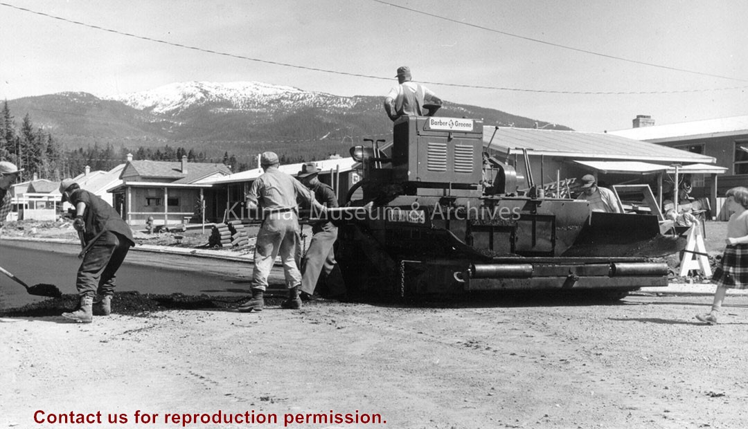
Kitimat was the place to be in North America in the 1950s. The massive Alcan project in the northwest British Columbia was completed in just five years - dam, tunnel, powerhouse, Kemano, transmission line, smelter, and Kitimat. Browse through Kitimat history with these project images - a BC digital collection. The project was one of the most photographed and filmed construction jobs in BC history.
Kitimat was the place to be in North America in the 1950s. The massive Alcan project in the northwest British Columbia was completed in just five years - dam, tunnel, powerhouse, Kemano, transmission line, smelter, and Kitimat. Browse through Kitimat history with these project images - a BC digital collection. The project was one of the most photographed and filmed construction jobs in BC history.
In 2013, the Kitimat Museum and Archives worked with the District of Kitimat, and the Recreation Department, to select images commemorating 60 years of Community in the town of Kitimat. The display can physically be seen on display in the hallway of Riverlodge Recreation Centre.
In 2013, the Kitimat Museum and Archives worked with the District of Kitimat, and the Recreation Department, to select images commemorating 60 years of Community in the town of Kitimat. The display can physically be seen on display in the hallway of Riverlodge Recreation Centre.
Settling In: Highlighting 50 Years of Kitimat's History Exhibition, was shown at the Kitimat Museum and Archives in 2003. "To the youngsters, Kitimat presents a pleasing blend of modern, urban, recreational facilities in a wild-west, wilderness setting. To the adults, it offers physical grandeur, unexcelled hunting and fishing, neighbourliness, dependence, and the genuine friendships of a new community." Canadian Geographical Journal 1959 What makes a town? What makes Kitimat unique? In the final analysis, Kitimat citizens have made the community. This exhibition attempts to show the public face of Kitimat.
Settling In: Highlighting 50 Years of Kitimat's History Exhibition, was shown at the Kitimat Museum and Archives in 2003. "To the youngsters, Kitimat presents a pleasing blend of modern, urban, recreational facilities in a wild-west, wilderness setting. To the adults, it offers physical grandeur, unexcelled hunting and fishing, neighbourliness, dependence, and the genuine friendships of a new community." Canadian Geographical Journal 1959 What makes a town? What makes Kitimat unique? In the final analysis, Kitimat citizens have made the community. This exhibition attempts to show the public face of Kitimat.
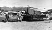
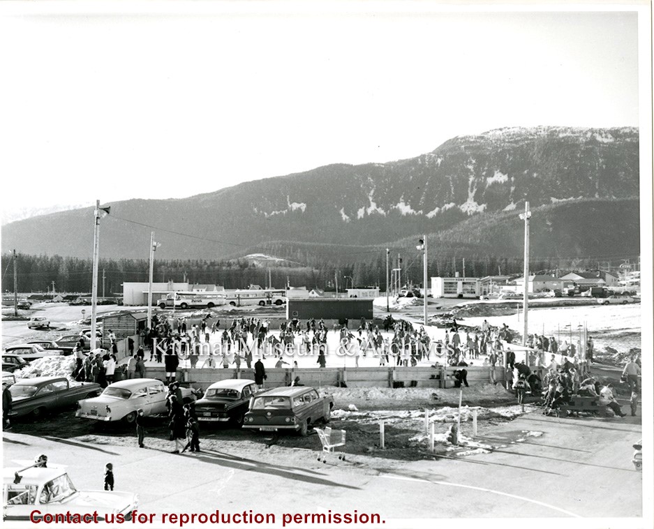
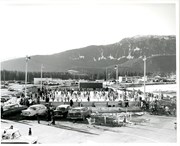
Kitimat Skates was a local component that supplemented the Canadian Museum of History's traveling exhibition, 'Lace Up! Canada's Passion for Skating'. The Kitimat Museum and Archives supplemented the national museum exhibition with sixty years of Kitimat skating history. Did you know that the first skating rink was created when the municipality annually flooded the tennis courts at Nechako Centre? And, that the inventor of Marsh Pegs used by the NHL was a long-time Kitimat resident?
Kitimat Skates was a local component that supplemented the Canadian Museum of History's traveling exhibition, 'Lace Up! Canada's Passion for Skating'. The Kitimat Museum and Archives supplemented the national museum exhibition with sixty years of Kitimat skating history. Did you know that the first skating rink was created when the municipality annually flooded the tennis courts at Nechako Centre? And, that the inventor of Marsh Pegs used by the NHL was a long-time Kitimat resident?
Photocopies of a triangulation survey from 1925 showing the Kitimat Arm, Skeena River and upper Kitimat River area. R.G.5.. Coast District B.C. Photocopy has 3 parts.
Donated by Margaret Vanderberg from the Ministry of Transportation + Highways on February 11, 2000.
Scope and Content
Photocopies of a triangulation survey from 1925 showing the Kitimat Arm, Skeena River and upper Kitimat River area. R.G.5.. Coast District B.C. Photocopy has 3 parts.
Fonds contains documents, photographs, photocopies, and maps collected by Arvid Hardin throughout his ten years in Kitimat. Areas of focus include high school life, the Kitimat Army Cadets, and the creation of Hirsch Creek Park, the Kitimat Community Centre, and the Kitimat trail system.
Arvid Hardin (born c. 1941) lived in Kitimat from 1953 to 1963. He graduated from Mount Elizabeth Secondary School in 1959, served as an active member of the Kitimat Army Cadet Corps, and was involved with the creation of Hirsch Creek Provincial Park. Around 2008, he collaborated with E.E. 'Bill' Duyvewaardt and other former Kitimat Cadets to write a 'historical profile' of the Cadets and their activities.
Custodial History
Materials from accession 2009.15 were donated by Arvid Hardin to the Museum on June 10th, 2009.
Materials from accession 2022.18 were donated by Arvid Hardin on May 10th, 2022.
Scope and Content
Fonds contains documents, photographs, photocopies, and maps collected by Arvid Hardin throughout his ten years in Kitimat. Areas of focus include high school life, the Kitimat Army Cadets, and the creation of Hirsch Creek Park, the Kitimat Community Centre, and the Kitimat trail system.
Conservation
Many pages old and yellowing. Staples, paper clips, and other metal fasteners removed from all papers in March & May 2022.
Storage Location
Box 39
Photo storage
Related Material
Artifacts donated by Arvid Hardin include a proclamation (2009.15.6), gazette (2009.15.7), and high school certificate (2009.15.11).
Base map of statistical area 6. The map shows Kitimat and surrounding coastal area. This map is a partial reproduction of the West Central British Columbia Base Map by Geographic Division, Surveys & Mapping Branch, Department of Lands, Forests, & Water Resources, Victoria, B.C. 1955-56.
Base map of statistical area 6. The map shows Kitimat and surrounding coastal area. This map is a partial reproduction of the West Central British Columbia Base Map by Geographic Division, Surveys & Mapping Branch, Department of Lands, Forests, & Water Resources, Victoria, B.C. 1955-56.
Printed map of Kitimat from 1959. The old hospital is in place but the Museum isn't. Angle St. is identified as Alger St., and Gwyn St. is Faraday St. Riverlodge Camp is still in place.
Pat Lean was the Provincial Government Agent in Kitimat from Dec 1 1969 to April 1 1970.
Scope and Content
Printed map of Kitimat from 1959. The old hospital is in place but the Museum isn't. Angle St. is identified as Alger St., and Gwyn St. is Faraday St. Riverlodge Camp is still in place.
Four copied maps showing the grease trail within traditional Haisla territory. One map is put together with different sheets in a patchwork style. The maps were prepared for the Haisla Land Claims Centre.
Four copied maps showing the grease trail within traditional Haisla territory. One map is put together with different sheets in a patchwork style. The maps were prepared for the Haisla Land Claims Centre.