Photo showing 'under construction' - Kitimat River Bridge (18 miles north of Kitimat); construction of deck of bridge, road link with Terrace, Highway 25, (span near completion). Became Highway 37 in 1975.
Photo showing 'under construction' - Kitimat River Bridge (18 miles north of Kitimat); construction of deck of bridge, road link with Terrace, Highway 25, (span near completion). Became Highway 37 in 1975.
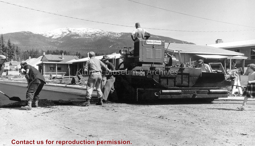
In 2013, the Kitimat Museum and Archives worked with the District of Kitimat, and the Recreation Department, to select images commemorating 60 years of Community in the town of Kitimat. The display can physically be seen on display in the hallway of Riverlodge Recreation Centre.
In 2013, the Kitimat Museum and Archives worked with the District of Kitimat, and the Recreation Department, to select images commemorating 60 years of Community in the town of Kitimat. The display can physically be seen on display in the hallway of Riverlodge Recreation Centre.
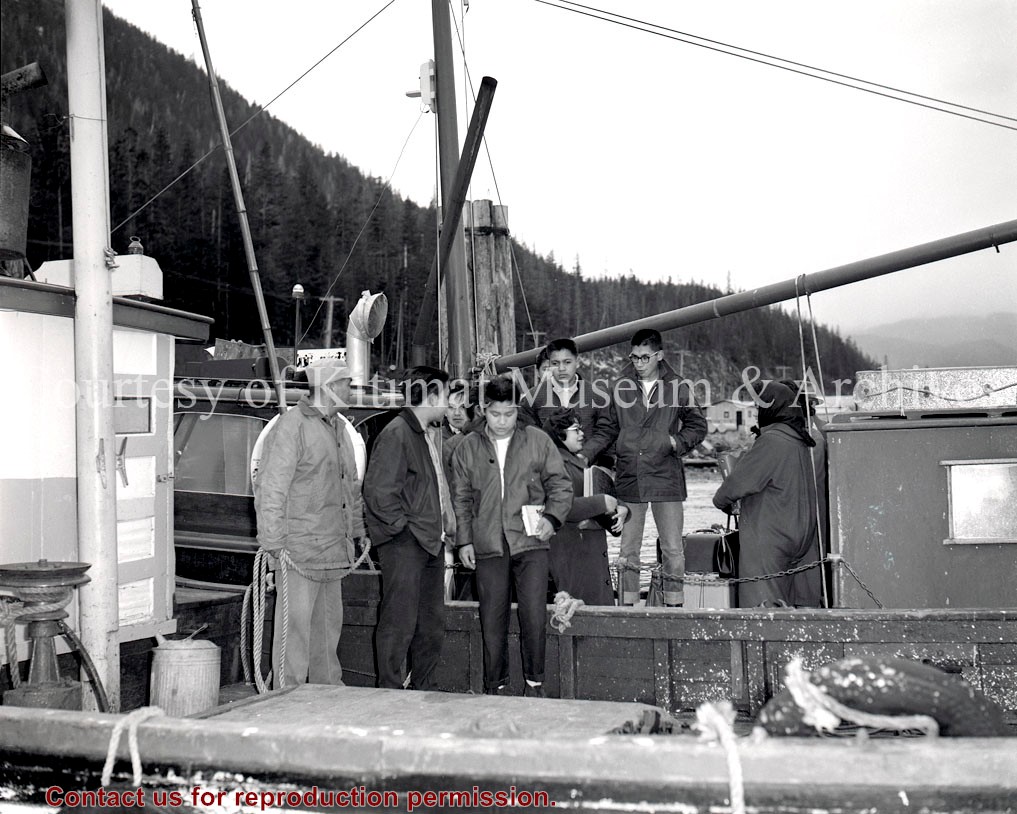
Settling In: Highlighting 50 Years of Kitimat's History Exhibition, was shown at the Kitimat Museum and Archives in 2003. "To the youngsters, Kitimat presents a pleasing blend of modern, urban, recreational facilities in a wild-west, wilderness setting. To the adults, it offers physical grandeur, unexcelled hunting and fishing, neighbourliness, dependence, and the genuine friendships of a new community." Canadian Geographical Journal 1959 What makes a town? What makes Kitimat unique? In the final analysis, Kitimat citizens have made the community. This exhibition attempts to show the public face of Kitimat.
Settling In: Highlighting 50 Years of Kitimat's History Exhibition, was shown at the Kitimat Museum and Archives in 2003. "To the youngsters, Kitimat presents a pleasing blend of modern, urban, recreational facilities in a wild-west, wilderness setting. To the adults, it offers physical grandeur, unexcelled hunting and fishing, neighbourliness, dependence, and the genuine friendships of a new community." Canadian Geographical Journal 1959 What makes a town? What makes Kitimat unique? In the final analysis, Kitimat citizens have made the community. This exhibition attempts to show the public face of Kitimat.
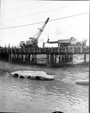
Photo showing brdge site looking west from east bank of Kitimat River, forms for east piers being placed, immediate foreground, guides for sheey piling in place for centre piers, centre background, first piece of sheet piling in place.
Photo showing brdge site looking west from east bank of Kitimat River, forms for east piers being placed, immediate foreground, guides for sheey piling in place for centre piers, centre background, first piece of sheet piling in place.
Photo showing view looking west, centre foreground: forms in place for sheet piling for east piers, right foreground: first and second cribs of east and temporary bridge, centre background: right sheet piling center piers all placed, left-western cribs and deck for temporary bridge being placed.
Photo showing view looking west, centre foreground: forms in place for sheet piling for east piers, right foreground: first and second cribs of east and temporary bridge, centre background: right sheet piling center piers all placed, left-western cribs and deck for temporary bridge being placed.
Photo showing Columbia Bridge is coming down and will be out of service for about another month according to the municipal engineering department. The old stringers are to be removed Friday and following that the main culvert will be installed and the cavity filled and eventually paved. Kuldo Bridge is to get the same treatment once Columbia is back in use.
Current: 1960s
-District of Kitimat
-Miscellaneous
Scope and Content
Photo showing Columbia Bridge is coming down and will be out of service for about another month according to the municipal engineering department. The old stringers are to be removed Friday and following that the main culvert will be installed and the cavity filled and eventually paved. Kuldo Bridge is to get the same treatment once Columbia is back in use.
Photographs of the Old Craddock Bridge in Walcott, B.C., the new Skeena Bridge in Terrace, animal tracks, various wild plants, hiking at the Silver King Basin near smithers, Kitwanga Bridge Construction, and the Telkwa coal mine
10 photograph prints : color ; 12.5 x 9cm
11 photograph prints : color ; 9 x 12.5cm
4 photograph prints : b&w ; 9 x 13.5cm
4 photograph prints : b&w ; 13.5 x 9cm
Custodial History
Photographs taken by Gisela Mendel in her role as museum curator.
Scope and Content
Photographs of the Old Craddock Bridge in Walcott, B.C., the new Skeena Bridge in Terrace, animal tracks, various wild plants, hiking at the Silver King Basin near smithers, Kitwanga Bridge Construction, and the Telkwa coal mine
Notes
75.34.0 to 36 (Missing 2, 12 to 20, 24, 26 to 28, 31 to 33, 35) and 75.34.A.10 to 20 (Missing 16 to 19)