Photograph of an aerial view the the Alcan plant and Kitimat River Delta. Alcan plant is visible above while the delta is below.
Notes
Back of photo has 2 dates, Jan 23 1985 and Jan 23 1986. The 1986 date is a sticker add on, while the 1985 date is stamped on. The 1985 date is believed to be correct.
Aerial photo of the Kitimat river estuary showing Kitimat River, Kitimat Harbor, Minette Bay, and the Alcan company smelter site taken from the southwest looking northeast towards the Kitimat City Centre.
Aerial photo of the Kitimat river estuary showing Kitimat River, Kitimat Harbor, Minette Bay, and the Alcan company smelter site taken from the southwest looking northeast towards the Kitimat City Centre.
Photograph of an aerial of the Alcan Plant and Kitimat River Facility. Alcan Plant is visible above and Kitimat River delta is below.
Notes
Back of photo has 2 dates, Jan 23 1985 and Jan 23 1986. The 1986 date is a sticker add on, while the 1985 date is stamped on. The 1985 date is believed to be correct.
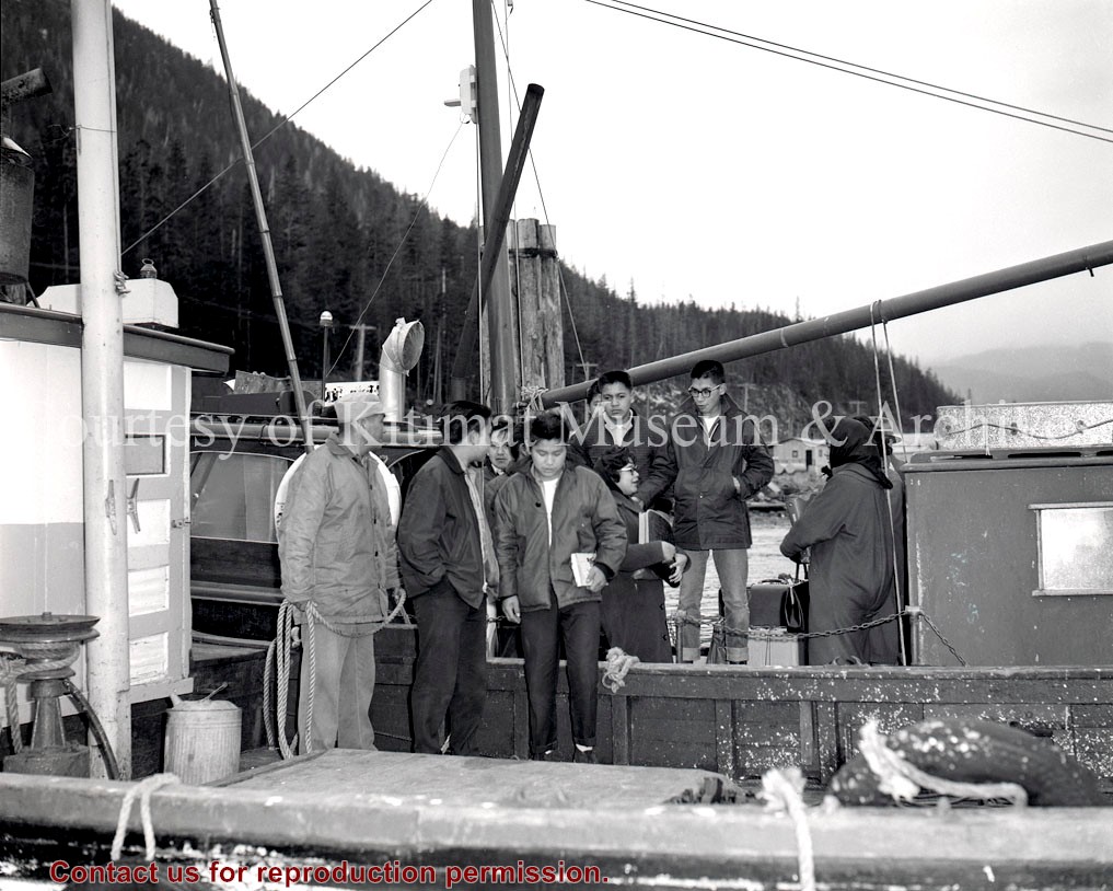
In 2013, the Kitimat Museum and Archives worked with the District of Kitimat, and the Recreation Department, to select images commemorating 60 years of Community in the town of Kitimat. The display can physically be seen on display in the hallway of Riverlodge Recreation Centre.
In 2013, the Kitimat Museum and Archives worked with the District of Kitimat, and the Recreation Department, to select images commemorating 60 years of Community in the town of Kitimat. The display can physically be seen on display in the hallway of Riverlodge Recreation Centre.
Photograph of an aerial of the harbour facilities at Kitimat, BC. The Alcan plant is visible above it, and the Kitimat river delta is below.
Notes
Back of photo has 2 dates, Jan 23 1985 and Jan 23 1986. The 1986 date is a sticker add on, while the 1985 date is stamped on. The 1985 date is believed to be correct.