Aerial view of Nechako Neighbourhood looking east. looking east. Note clearing for B-III on left side of picture and clearing for City Centre and Neighbourhood D on the right side.
Aerial view of Nechako Neighbourhood looking east. looking east. Note clearing for B-III on left side of picture and clearing for City Centre and Neighbourhood D on the right side.
Aerial view of the townsite clearing looking North. Note, City Centre in left foreground with clearing for main sewer outfall extending across to the lower right hand corner of photograph
Aerial view of the townsite clearing looking North. Note, City Centre in left foreground with clearing for main sewer outfall extending across to the lower right hand corner of photograph
Aerial photo of the Kitimat river estuary showing Kitimat River, Kitimat Harbor, Minette Bay, and the Alcan company smelter site taken from the southwest looking northeast towards the Kitimat City Centre.
Aerial photo of the Kitimat river estuary showing Kitimat River, Kitimat Harbor, Minette Bay, and the Alcan company smelter site taken from the southwest looking northeast towards the Kitimat City Centre.
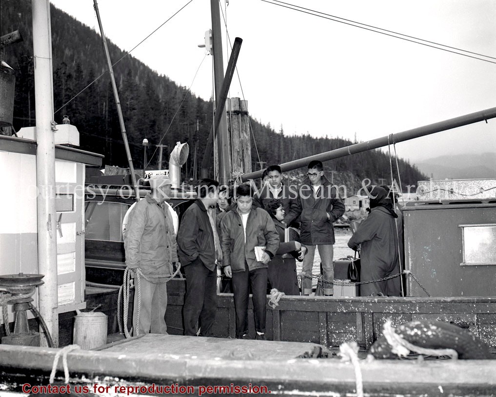
In 2013, the Kitimat Museum and Archives worked with the District of Kitimat, and the Recreation Department, to select images commemorating 60 years of Community in the town of Kitimat. The display can physically be seen on display in the hallway of Riverlodge Recreation Centre.
In 2013, the Kitimat Museum and Archives worked with the District of Kitimat, and the Recreation Department, to select images commemorating 60 years of Community in the town of Kitimat. The display can physically be seen on display in the hallway of Riverlodge Recreation Centre.