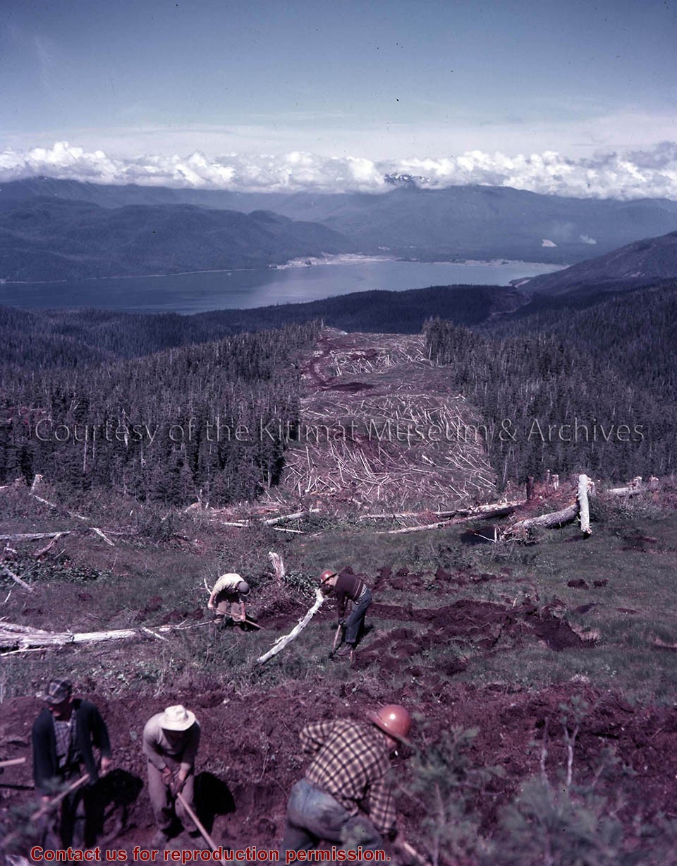
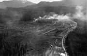
Photo depicts workers clearing the transmission line right-of-way. The smelter site preparation and smoke from the townsite clearing are in the distance.
Photo depicts workers clearing the transmission line right-of-way. The smelter site preparation and smoke from the townsite clearing are in the distance.
Notes
Title based on content of photograph. Alcan Collection Accession no. 73.3.10.1
Base map of statistical area 6. The map shows Kitimat and surrounding coastal area. This map is a partial reproduction of the West Central British Columbia Base Map by Geographic Division, Surveys & Mapping Branch, Department of Lands, Forests, & Water Resources, Victoria, B.C. 1955-56.
Base map of statistical area 6. The map shows Kitimat and surrounding coastal area. This map is a partial reproduction of the West Central British Columbia Base Map by Geographic Division, Surveys & Mapping Branch, Department of Lands, Forests, & Water Resources, Victoria, B.C. 1955-56.
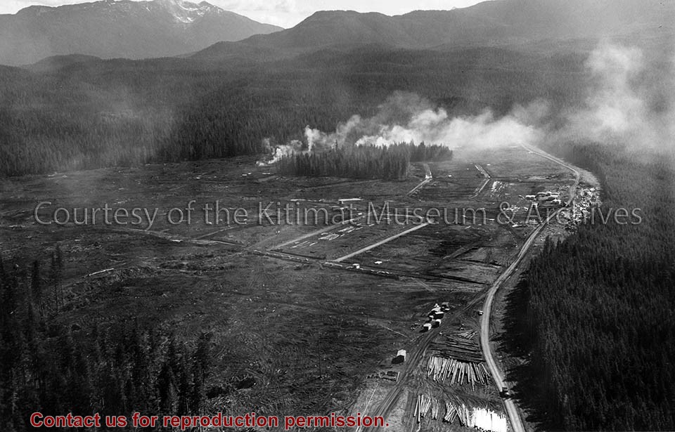
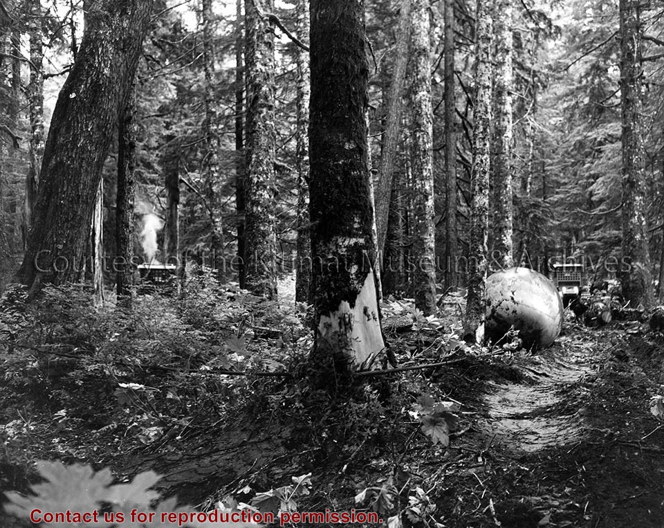
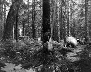
Photo depicts a 5-ton steel ball measuring 8 feet in diameter, strung on a cable and pulled through the forest between two tractors. An unsuccessful experiment.
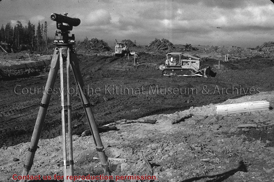
1 photograph : b&w
1 photograph : b&w ; 25 x 20 cm
Scope and Content
Photo depicts a 5-ton steel ball measuring 8 feet in diameter, strung on a cable and pulled through the forest between two tractors. An unsuccessful experiment.
Notes
Title based on content of photograph. -- Experimental area is being cleared with use of two TD-119 Allis-Chalmers tractors. Alcan Collection 73.3.3.23