Photograph of aerial of the Kitimat townsite. View is looking over the Kildala neighbourhood with City Centre and the hospital visible beyond. Nechako and Whitesail neighbourhoods can be seen up on the hill. Mountains behind the town look clearcut. Mount Elizabeth furthest back in background.
Photograph of aerial of the Kitimat townsite. View is looking over the Kildala neighbourhood with City Centre and the hospital visible beyond. Nechako and Whitesail neighbourhoods can be seen up on the hill. Mountains behind the town look clearcut. Mount Elizabeth furthest back in background.
Photograph of cleared helicopter landing space on top of Iron Mountain. Kim Creed is standing there next to an oil drum. He has no shirt on. He is 20 years old.
Photos from Kim Creed from the Iron Mountain mine sites. Kim worked at the mine. The photo collection shows the diamond driller that helped to drill out thousands of feet of drill core back in the early 1960s.
Custodial History
These photos belonged to Kim Creed. They were given to Walter Thorne who donated them to the museum.
Scope and Content
Photograph of cleared helicopter landing space on top of Iron Mountain. Kim Creed is standing there next to an oil drum. He has no shirt on. He is 20 years old.
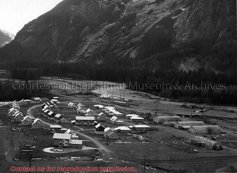
Photo depicts the permanent Kemano townsite at Camp No. 5. View is looking towards beach. Seen on the left are permanent homes for powerhouse staff. On the right are the temporary buildings known as quonset huts used during the construction years as crew quarters.
Photo depicts the permanent Kemano townsite at Camp No. 5. View is looking towards beach. Seen on the left are permanent homes for powerhouse staff. On the right are the temporary buildings known as quonset huts used during the construction years as crew quarters.
Notes
Title based on content of photograph. -- Alcan ID No. 2KR-298. -- Permanent housing construction began in 1957. Alcan Collection
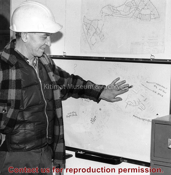
Photograph of aerial view looking east across clearing for neighbourhood B-I, B-II, B-III and s-section of B-IV. Nechako neighbourhood homes and high school visible in background.
Photos belonged to Raymond Stanyer who worked in Kitimat, and were donated by his wife, Pat Stanyer
Scope and Content
Photograph of aerial view looking east across clearing for neighbourhood B-I, B-II, B-III and s-section of B-IV. Nechako neighbourhood homes and high school visible in background.
Photograph of land clearing operation in neighbourhood C-II. Sewer line under construction in foreground is part of extension to Sagimat temporary housing. Pipe segments in foreground.
Land clearing of Kitimat. All aerials for development.
Custodial History
From the files of Ray Hunstone. Photos from an Alcan binder, have Alcan numbers.
Scope and Content
Photograph of land clearing operation in neighbourhood C-II. Sewer line under construction in foreground is part of extension to Sagimat temporary housing. Pipe segments in foreground.
Photograph of gully crossing #2 showing the clearing contractor placing the dead and diseased trees at the base of the gully to stop any further earth slippage and improve the appearance of the area. Houses visble on hill behind.
Land clearing of Kitimat. All aerials for development.
Custodial History
From the files of Ray Hunstone. Photos from an Alcan binder, have Alcan numbers.
Scope and Content
Photograph of gully crossing #2 showing the clearing contractor placing the dead and diseased trees at the base of the gully to stop any further earth slippage and improve the appearance of the area. Houses visble on hill behind.