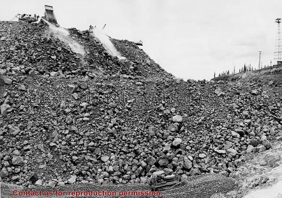
Photo depicts a International diesel TD-24 spreading a layer of large stones at the base of the Nechako Dam.
Notes
ID no. C 5927. -- Title based on content of photo. -- These layers of various size rock stone and clay will all slope towards the rock fill at about a 45 degree pitch. Official naming ceremony renamed dam the Kenney Dam. Hal Whiting Collection 985.65.56
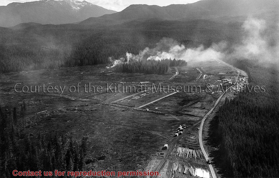
Photo depicts an aerial view of a portion of the Nechako neighbourhood showing the Hullah prototype area, Pintail and Partridge streets, in the foreground.
Photo depicts an aerial view of a portion of the Nechako neighbourhood showing the Hullah prototype area, Pintail and Partridge streets, in the foreground.
Notes
Title based on content of photograph. District of Kitimat Collection